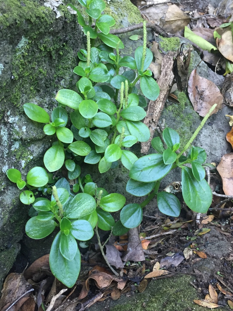
Peperomia urvilleana A.Rich.
Piperaceae
Every figure on this page is derived from public data by a stated rule and says its source; nothing here is written by a person or a model, except the Wikipedia passage, which is quoted and marked as such. How it is made.
Summary
Peperomia urvilleana is a species of flowering plant in the family Piperaceae, native to the Solomon Islands, New Caledonia, Norfolk Island, the southwestern Pacific and warmer areas of New Zealand. It is a succulent subshrub of the forest floor and occasionally grows as a low trunk epiphyte. Its Māori name is wharanui.
Text from Wikipedia, “Peperomia urvilleana”, CC BY-SA 4.0, quoted as written. Kept separate from everything derived here.
About the genus · Peperomia
Peperomia is one of the two large genera of the family Piperaceae. It is estimated that there are over 1,000 species, occurring in all tropical and subtropical regions of the world. They are concentrated in South and Central America, but may also be found in southern North America, the Caribbean islands, Africa, Oceania, and southern and eastern parts of Asia. More on Wikipedia ›
The opening of Wikipedia, “Peperomia”, CC BY-SA 4.0, quoted as written.
At a glance
Also known as Peperomia adscendens (Endl.) Schum.; Peperomia endlicheri Miq.; Peperomia endlicheri var. fijiana Yunck.; Peperomia muricatulata Colenso; Peperomia urvilleana var. fijiana (Yunck.) and 2 more.
Cultivation
Grouped as a tropical foliage plant by the genus Peperomia, which is reliably one kind of plant (archetype table). The table supplies one figure for this group, a conventional minimum for the cold floor, and no prose.
Its year Rain rule: no season, 70% of the rain takes 8 months (September to March and June in the northern hemisphere).
This species’ habitat figures, and what two fixed rules read from them.
The rain rule reads no season: 70% of the year's rain (1078 mm of 1483 mm) takes 8 months, March to September and December. Mean temperature moves 7.7 °C between the warmest and coldest month. Months are the habitat's, southern hemisphere; shifted six months for a northern-hemisphere collection: September to March and June.
Read from the median year of CHELSA monthly rainfall and mean temperature across the envelope cells: the rain rule takes the smallest set of months carrying 70% of the rain and calls it winter when its mean is more than half a degree below the year's, summer when more than that above, and neither in between; the temperature rule, used only under 120 mm, names the cooler six months when they are at least a degree cooler than the other six. Months are shifted for the other hemisphere only where the temperature curve gives a season to reverse. A reading of the curves, not an observation of the plant.
Rain Habitat rain 1483 mm a year, wettest July at 170 mm, driest January at 95 mm (habitat calendar, southern hemisphere).
This species’ habitat figures, with their source.
1483 mm a year at the habitat, 1078 mm of it March to September and December. Wettest month July at 170 mm, driest January at 95 mm. Across the envelope cells the year's total runs 1217 mm to 1906 mm (10th to 90th percentile of each cell's own year) (median year across the envelope cells, CHELSA; habitat calendar, southern hemisphere).
CHELSA monthly precipitation, median year across the envelope cells. The rain that falls where the species is recorded; nothing about how the plant takes water.
Light Open sky over the habitat: 13 to 43 mol/m²/day.
This species’ habitat figures, with their source.
Open sky over the habitat: 13 to 43 mol/m²/day across the year (daily light integral, median year across the envelope cells, CHELSA; the lowest 10th-percentile month across the cells is 11, the highest 90th-percentile month 46).
CHELSA shortwave radiation at each envelope cell, a daily-mean flux taken to a daily total and converted at 2.07 mol of PAR per MJ. The sky over the habitat, measured; what reaches a plant under a rock, a shrub or a shade cloth is not.
Warmth and air Cold floor 12 °C (archetype minimum for a tropical foliage plant, above the 5.7 °C habitat night).
This species’ habitat figures, with their source.
Coldest: the 1st-percentile night over 44 years at the typical cell is 5.7 °C, the absolute minimum 3.3 °C, no frost in 44 years (NASA POWER daily minima). Warmest: the 99th-percentile day is 26.2 °C. Monthly means: coldest night 9.7 °C in July (across the envelope cells 6.0 °C to 12.6 °C), warmest day 21.3 °C in February (median year across the envelope cells, CHELSA). Cold floor: 12 °C. The habitat figure, the 1st-percentile night over 44 years at the typical cell (NASA POWER), is 5.7 °C; the archetype table's conventional minimum for a tropical foliage plant (grouped by the genus Peperomia, which is reliably one kind of plant) is 12 °C, which is higher, and the floor rule takes the higher.
NASA POWER daily minima and maxima 1981–2024 at the typical cell, lapse-corrected to its elevation; CHELSA monthly means, median year across the envelope cells, CHELSA. The cold floor is the figure named in its sentence, and the archetype table's group minimum where that is higher. Not a measured survival limit for any plant in a pot.
Relative humidity at the habitat: 62 to 63% across the year (monthly means, median year across the envelope cells, CHELSA). A figure about the air, saying nothing about how the plant takes water.
CHELSA relative humidity, median year across the envelope cells.
The figures the cards read from are in Climate below, and where they came from in Natural habitat.
Climate across the habitat
Figures by month
| Jan | Feb | Mar | Apr | May | Jun | Jul | Aug | Sep | Oct | Nov | Dec | |
|---|---|---|---|---|---|---|---|---|---|---|---|---|
| Day °C | 21 / 19–22 | 21 / 20–23 | 20 / 19–21 | 18 / 16–19 | 16 / 14–17 | 14 / 12–16 | 14 / 11–15 | 14 / 12–15 | 15 / 13–16 | 16 / 14–17 | 17 / 16–19 | 19 / 18–21 |
| Night °C | 17 / 14–18 | 17 / 14–19 | 16 / 13–18 | 14 / 11–17 | 12 / 9–15 | 11 / 7–14 | 10 / 6–13 | 10 / 6–12 | 11 / 8–13 | 12 / 9–14 | 13 / 10–15 | 15 / 13–17 |
| Rain mm | 95 / 74–125 | 98 / 74–131 | 108 / 84–150 | 118 / 93–167 | 135 / 114–172 | 160 / 128–202 | 170 / 139–216 | 152 / 121–196 | 124 / 101–165 | 108 / 89–159 | 104 / 82–141 | 111 / 90–156 |
| DLI | 43 / 40–45 | 37 / 35–40 | 30 / 28–32 | 22 / 20–23 | 16 / 14–17 | 13 / 11–14 | 14 / 12–15 | 19 / 17–20 | 26 / 24–28 | 34 / 31–37 | 40 / 37–43 | 42 / 39–46 |
| RH % | 62 / 61–65 | 62 / 61–65 | 62 / 60–64 | 62 / 60–65 | 62 / 60–66 | 62 / 60–66 | 63 / 60–66 | 62 / 60–65 | 63 / 61–65 | 62 / 61–65 | 62 / 61–64 | 63 / 61–65 |
Each figure is the median across the 368 grid cells holding the 869 in-range records, with the 10th–90th percentile span across those cells after the slash where it differs. Extremes and elevation were read at the typical cell 2537:7094 (-36.875, 174.725). Over 44 years there: absolute minimum 3.3 °C, 1st-percentile night 5.7 °C, 99th-percentile day 26.2 °C. Normals: CHELSA V2.1 1981–2010 climatology, 0.05° cells (each the mean of ~36 1 km pixels). Envelope: median and 10th–90th percentile of each month across the 368 distinct grid cells holding the 869 in-range records; extremes and elevation at the typical cell 2537:7094 (its coldest month's mean night nearest the median across cells); its position is the cell centre. Extremes: NASA POWER (MERRA-2) daily 1981–2024, cell -37.00_175.000, lapse-corrected -15 m at 6.5 °C/km. Elevation: ETOPO 2022, 35 m (cell mean).
Natural habitat
Photographs
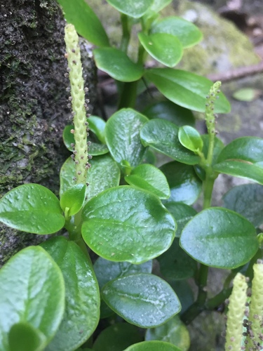
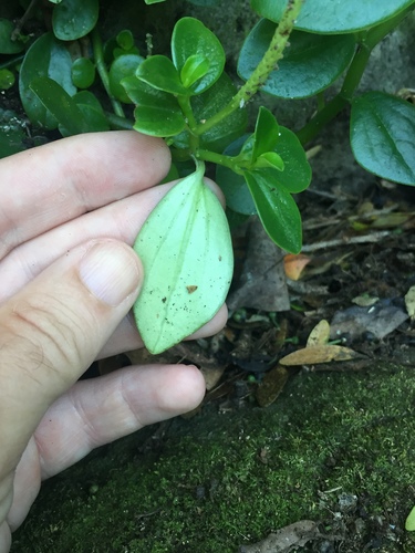
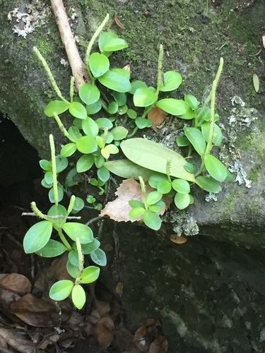
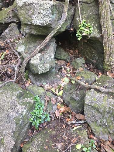
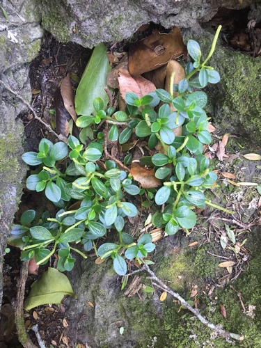
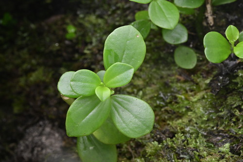
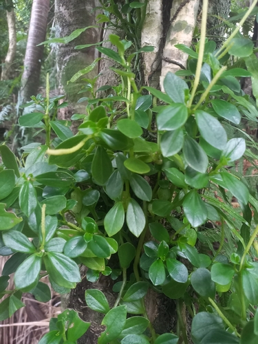
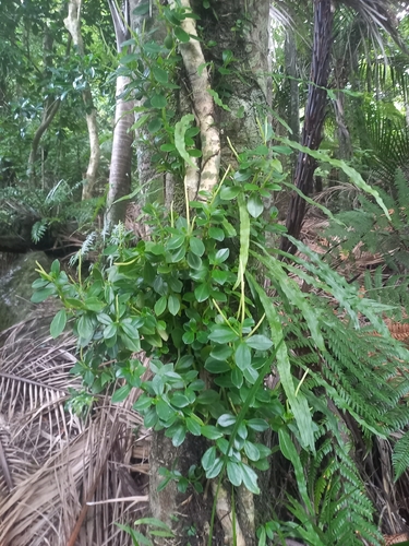
Photographs: (c) Stephen Thorpe, some rights reserved (CC BY) (5); (c) Saryu Mae 前 朝琉, some rights reserved (CC BY); (c) Dwayne, some rights reserved (CC BY) (2).
Photographs: iNaturalist did not answer when this page was built; what is shown came from the sources that did.
Papers naming this species
Works whose title or abstract names Peperomia urvilleana, most cited first, from OpenAlex (CC0). A mention, not a cultivation source: nothing on this page is drawn from them.
Related
Similar habitat climate the 6 species whose habitat climate is nearest this one's: mean day and night, month by month, and rain on a log scale, in calendar order, so a habitat with the same seasons six months out is far, not near. Nothing else counts: not range, not family.
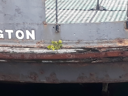 Metrosideros excelsa New Zealand Bottlebrush
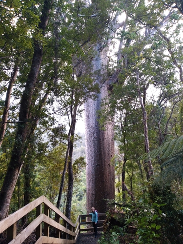 Agathis australis Araucariaceae
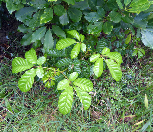 Vitex lucens Lamiaceae
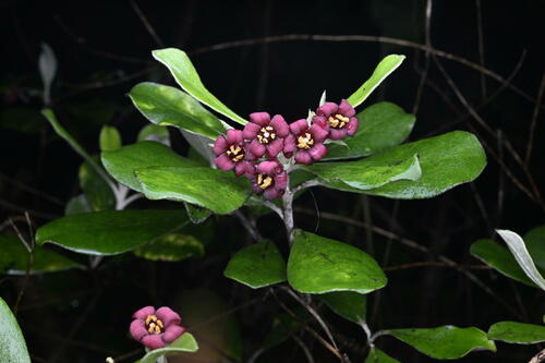 Pittosporum crassifolium Karo
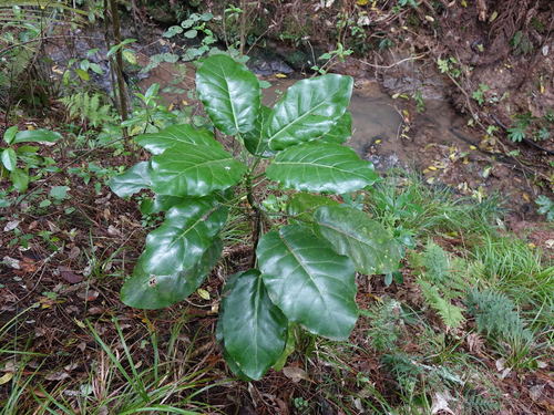 Meryta sinclairii Araliaceae
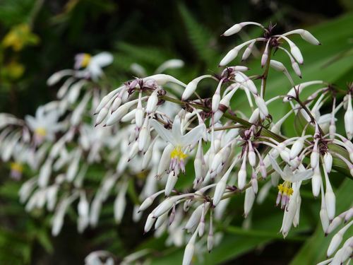 Arthropodium cirratum New Zealand rock lily
Other Peperomia 8 in the reference
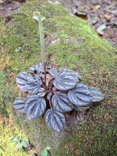 Peperomia caperata Emerald-Ripple Peperomia
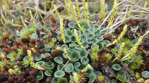 Peperomia jalcaensis Piperaceae
 Peperomia macrorhiza Piperaceae
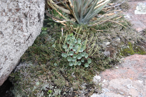 Peperomia monticola Piperaceae
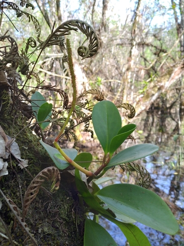 Peperomia obtusifolia American rubberplant
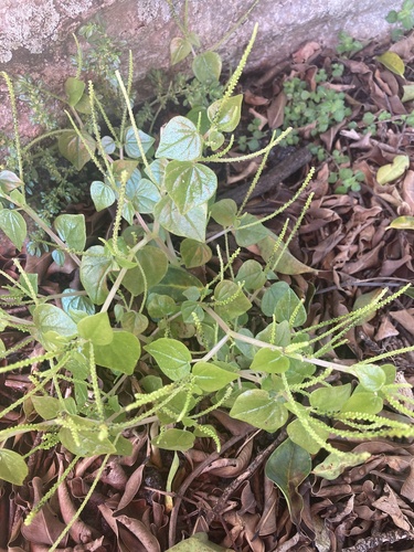 Peperomia pellucida Clearweed Peperomia pugnicaudex Piperaceae
 History & registers
Where this page came from built 2026-09-20 · dossier v2 · node
gbif.species answeredcarried from build of 2026-09-19 (offline re-derivation; the backbone was not asked)gbif.synonyms answeredcarried from build of 2026-09-19 (offline re-derivation; the backbone was not asked)gbif.vernacular answeredcarried from build of 2026-09-19 (offline re-derivation; the backbone was not asked)wcvp.distribution answeredgbif.occurrences answeredGBIF occurrence download https://doi.org/10.15468/dl.3h4zamclimate answeredwikidata answeredcarried from build of 2026-09-19 (rederive); that build: carried from build of 2026-09-19 (rederive)wikipedia answeredcarried from build of 2026-09-19; this build: skippedinat.taxon not askedinat.photos.wild answeredcarried from build of 2026-09-19; this build: skippedinat.photos.cultivated nothing to reportcarried from build of 2026-09-19 (rederive); that build: carried from build of 2026-09-19 (rederive)commons nothing to reportcarried from build of 2026-09-19 (rederive); that build: carried from build of 2026-09-19 (rederive)gbif.media answeredopenalex answeredcarried from build of 2026-09-19; this build: skippedEvery upstream is recorded as having answered, reported nothing, or refused. Only “nothing to report” is ever shown as an absence. Records came from 27 datasets via GBIF.org; each carries its own licence.